Airport Information

Location
FAA Identifier: PAO
Lat 37-27-40.0000N
LLong:122-06-54.2000W
Elevation: 4 ft./ 1 m
Variation: 15E
Time Zone: UTC -7, UTC -8
during Standard Time
Zip code: 94303

Communication
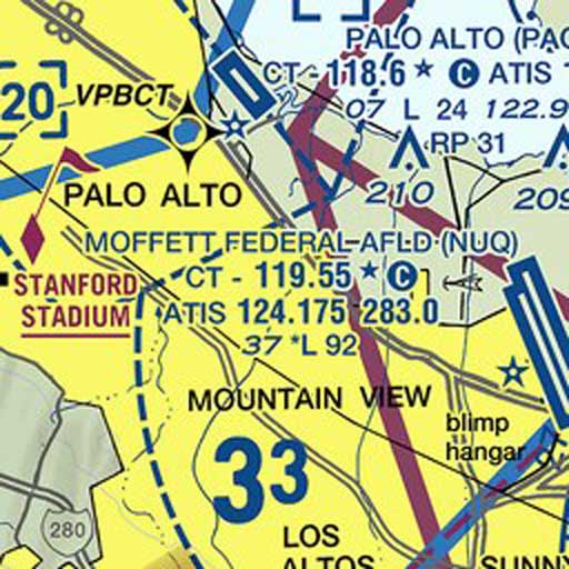
CTAF: 118.6
ATIS: 135.275
Palo Alto Ground 125.00
Palo Alto Tower: 118.6
Rossi Fuel 122.85/650-493-1673
UNICOM: 122.95
NORCAL APPROACH: 121.3 133.95 134.5
NORCAL DEPARTURE: 121.3

TieDown Layout

Runway
Runway: 13/31
Dimensions: 2443 x 70 ft. / 745 x 21 m
Surface: Asphalt

Aviation WX
METAR KPAO 152047Z 350102KT
10SM SKC 21/15 A2994 = TAF
SR / SS: 21:09 / 10:43 UTC ( 2016-08-15)

